
Cornelius Neighbors and Block Sources
Public records can describe the block around a Cornelius address without creating a list of every resident. POLARIS maps parcels and reports owners of record, parcel identification numbers called PIDs, situs addresses, meaning the physical parcel location, mailing addresses, legal descriptions, and overlays. GeoPortal adds district and community layers. Tax, deed, and permit records supply separate property facts. Voter information has strict field limits and a name-based public search. Community directories identify organizations or contacts, not member households. Treat each source as evidence for the one fact it actually maintains.
| Block source | Public information it supplies | How to use it |
|---|---|---|
| POLARIS parcel map | Central and adjoining parcels, owner, parcel ID, situs, mailing and legal description | Free map browse; confirm transfers with deeds |
| GeoPortal | Address-linked property, voting, district, park, library, stormwater and environmental context | Free address search with at least four characters |
| Office of Tax Administration | Tax bill, valuation, tax-year and delinquency context | Search by owner, parcel, street, or bill number |
| Register of Deeds | Transfers, plats, legal descriptions and subdivision context | Modern and historical online systems; office copies |
| Voter Search | Permitted registration fields for a named voter | Name search or a properly scoped county request |
| HOA and community contacts | Board or public organization contacts, meetings, rules and events | Association, town, or Chamber sources; rosters not located |
An owner of record may be a company, trust, estate, or person with a mailing address outside Cornelius. A mailing address tells the county where to send a tax bill. The situs is the physical parcel location. Neither field establishes every occupant, renter, child, roommate, or visitor on the block.
Cornelius Neighbors in the Parcel Map
POLARIS accepts an address, parcel number, owner, or landmark in its main search. Its Main Search, Situs Address Search, Property Analysis, Polygon Search, Identify, Streets, Overlays, Legend, Print, Measure, and Markup tools help frame a nearby-lot question. Once the central parcel appears, use the parcel polygon and Identify tool on the surrounding polygons. Open each property report and record the PID before comparing names or deed references. The public interface did not show a dedicated radius or buffer tool, so parcel adjacency and map browsing are the supported approach.
GeoPortal starts with address or place autocomplete after at least four characters. Its layers can show property, voting, districts, schools, trash and recycling, parks and libraries, as well as environmental and community metrics. GIS data is a general-reference layer. Recorded deeds and plats, not a screen boundary, control title and legal property lines.
- PID
- A parcel identification number used to distinguish one tax parcel from another.
- Situs address
- The physical location of the parcel, distinct from the address where tax bills are mailed.
- Plat
- A recorded map that can show lots, roads, easements, and subdivision boundaries.
Mapping a Cornelius Block by Parcel
Map a small Cornelius block from one verified address outward. The aim is to understand which parcels touch, where a subdivision or easement applies, and which owner-of-record entries merit a deed check. It is not a method for inferring personal relationships between people who happen to own adjacent lots. A shared road, plat, or lakefront boundary can explain geographic proximity without showing that the named people know each other.
- Search the known address in POLARIS and save the central parcel's PID, situs, legal description, and map position.
- Use the parcel polygon and Identify tool on each adjoining lot. Save the adjacent PID and public owner-of-record field.
- Check the tax mailing address and tax-year context, but do not treat either as proof of occupancy.
- Open the current or historical deed index when a transfer, plat, or legal description needs confirmation.
- Use district, park, library, floodplain, or historic layers only as geographic context for the parcel comparison.
For a full named-street record chain rather than the immediate Cornelius block, use the Cornelius street directory. That address-focused path covers the wider street without turning the parcel map into a resident list.
Note: Save each PID with the search date because property and tax data can lag a newly recorded deed.
Cornelius Neighbor Voter Boundaries
The public NC Voter Search is a person search, not a free tool for browsing all neighbors on a street. It requires first and last name and at least one status selection. A county selection, year of birth, and middle initial can help separate similar names. The result can return voter details, jurisdictions, polling place, sample-ballot information when available, absentee-ballot information, and voter history. It does not show ballot choices, and a nonmatch can reflect spelling, a name change, county selection, status selection, or protected participation.
G.S. 163-82.10 permits county or precinct voter lists and selected fields by request, subject to the statute and preparation rules. Full date of birth, Social Security number, driver-license number, email address, and copied signatures are confidential. The Mecklenburg Board may provide a voter data file or record-request route, but a request should state the county or precinct, fields, time period, history span, and output format. Do not use a voter record to identify protected physical addresses or to build a household roster.
Cornelius Neighbor Community Contacts
The community layer is organizational. Cornelius planning and parks materials name lake-area and subdivision communities including Antiquity, Bailey Springs, Victoria Bay, The Peninsula, Marina Village, North Harbor, Westmoreland, Magnolia Estates, and Lake Norman Cove. Town material also refers to HOA presidents in a Neighborhood Advisory Committee and to HOA meetings in police community programs. A complete current HOA or member directory was not located in official town material. Ask an association directly for lawful public-contact information rather than treating a town agenda as proof of who belongs to a community.
Lake Norman Chamber
Lake Norman Chamber's civic directory can be searched by category, keyword, and ZIP. Its Cornelius office is at 19900 W. Catawba Avenue, Suite 101.
Smithville Community Coalition
The Chamber lists this Cornelius civic organization as a public contact channel. A directory listing does not establish a membership list.
Neighborhood C.A.R.E. Center
The Chamber directory identifies a Cornelius public organization contact. Service users and participants are not public block data.
Churches, civic clubs, National Night Out, Citizens Police Academy, and HOA meeting programs can provide public event or organizer context. Membership and participant rosters should not be assumed public, even when an institution has a public address.
Cornelius Neighbor Sources Compared
Official and commercial neighbor tools answer different questions. The county map and deed system are custodial sources for parcel geometry and recorded transfers. A commercial category may combine property, voter, marketing, phone, or stale address data. It can merge people with the same name and it does not replace the office that holds the source record. For a block question, keep the comparison focused on parcels, public civic geography, and dated recorded documents.
| Official Cornelius source | Commercial neighbor-tool category |
|---|---|
| Identifies a parcel, recorded transfer, public voting field, or civic layer maintained by the custodian. | May combine older public and marketing data from sources with different update dates. |
| Lets the researcher preserve a PID, deed reference, record date, or county context. | May mix same-name people or present a prior address without its original context. |
| Supports a targeted question that can be verified with the holder of the record. | Cannot establish every current household member or overcome a protected address. |
Cornelius Neighborhood History in Records
Some Cornelius blocks need a historical map or designation file before a current parcel makes sense. The town began as Liverpool and was renamed Cornelius for J.B. Cornelius. Older deeds or directories may use a township, road, or Liverpool reference instead of current municipal wording. Lake Norman's creation in 1963 also changed shoreline geography, then later plats and subdivisions created lots and addresses that did not exist in the earlier land record. A modern lakefront parcel may sit on an older farm tract with a different description.
For a historical anchor near a Cornelius block, consult the county's Cornelius historic landmarks page.
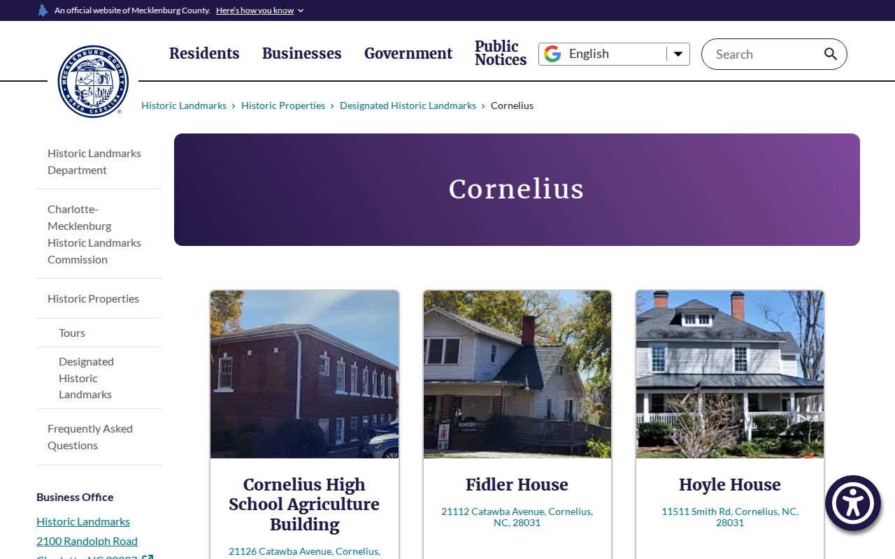
Designation reports can identify prior owners, builders, and building chronology, but they do not establish current residents on the surrounding block.
Cornelius Neighbor Records Have Limits
Some official search channels are narrow by design. The Mecklenburg Sheriff's Office Inmate Inquiry is a custody channel with current and recent three-year inmate or arrest information. It is not a neighbor list, proof of a home address, or a substitute for parcel and deed records. A current or recent custody entry has to be read within its stated scope and date, not projected onto everyone around a Cornelius address.
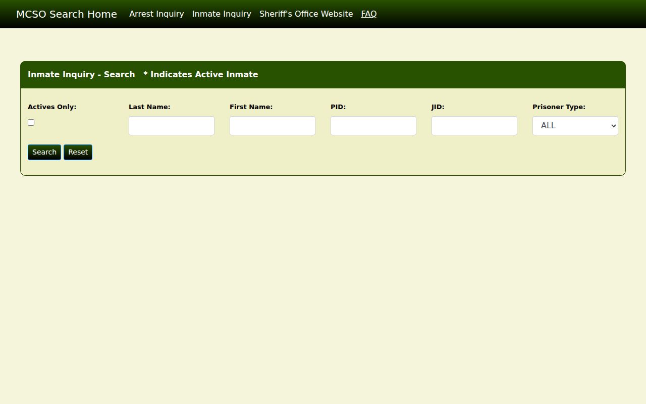
Use a limited public-safety record only for the exact official question it can answer, then confirm any record with its custodian.
Privacy Limits for Cornelius Neighbor Lookups
Block research cannot reveal utility or delivery customers, DMV addresses, renters, roommates, children, protected Address Confidentiality Program residences, sealed juvenile or family-court material, or ballot choices. North Carolina's Address Confidentiality Program gives eligible survivors a substitute address for first-class mail and participating public transactions. When a public record shows a substitute address, or does not display a person, preserve that limit. Do not try to infer the physical address from parcel, voter, court, or directory clues.
A wrong parcel field should be directed to Mecklenburg GIS or Land Records with the PID and source evidence. A recorded-image redaction request goes to the Register of Deeds and must identify the document and exact information location. Court access questions go to the Clerk. A focused correction is more useful than a demand to erase a person from unrelated public systems.
Lawful use. Use Cornelius neighbor information for a personal, lawful geographic or civic question. Do not use public records to stalk, harass, intimidate, or harm anyone.