
Map Cornelius ZIP Code Coverage
The ZIP code directory begins with one directly confirmed local postal facility and two nearby North Mecklenburg postal and Census geographies. USPS confirms 28031 as the principal Cornelius postal ZIP and identifies the Cornelius Post Office. Official Census profiles also display 28036 and 28078 in the regional geography. Those latter codes belong with nearby Davidson and Huntersville area geography; the research does not establish them as Cornelius municipal delivery zones. For a specific parcel, verify the actual mailing address with USPS and check jurisdiction in Mecklenburg GIS rather than using a regional ZIP label as an answer by itself.
| ZIP or ZCTA | Area relevant to Cornelius | Postal reference | Careful use |
|---|---|---|---|
| 28031 | Principal Cornelius postal ZIP | Cornelius Post Office, 20311 Chartwell Center Drive | Facility result is not a town-boundary decision; verify the individual address and ZIP+4 |
| 28036 | Davidson postal area north and east of Cornelius | Specific facility not located in the research pass | Regional ZCTA only; do not assume the address is inside town limits |
| 28078 | Huntersville and North Mecklenburg postal geography | Huntersville-area postal geography | May occur in county programs or processing labels, not proof of a Cornelius address |
ZIP coverage is a delivery reference, not a resident roll. Cornelius, Davidson, Huntersville, lake areas, ETJ land, and unincorporated pockets can sit close together within Mecklenburg County.
Note: Only 28031 is directly confirmed here as the Cornelius postal facility ZIP; check each nearby address separately with USPS and county GIS.
Separate Cornelius ZIP and ZCTA Lines
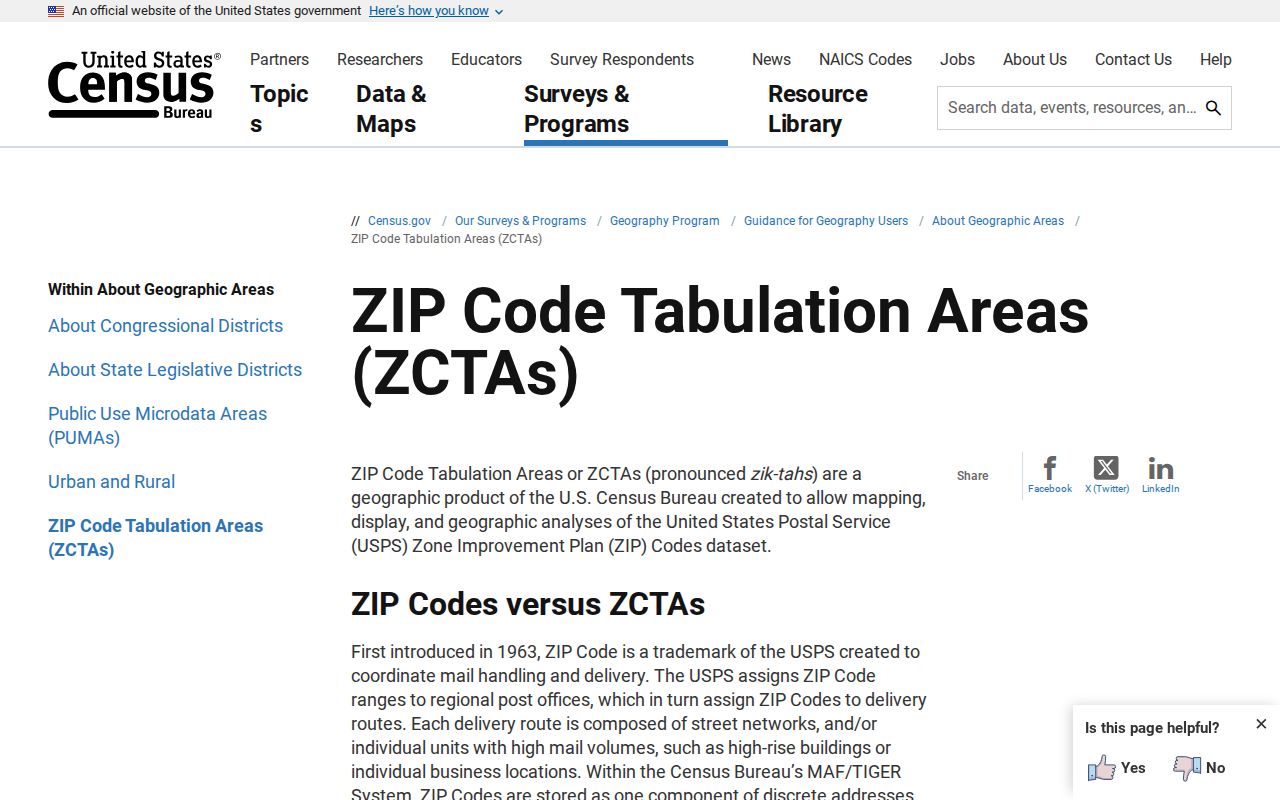
USPS ZIP Codes are delivery-route constructs. Census ZIP Code Tabulation Areas, or ZCTAs, are generalized statistical polygons built to approximate many ZIP areas. They are not identical systems. A ZCTA can be noncontiguous and can represent mixed delivery, a post-office box pattern, or an institution. Neither is a release of individual delivery points. The Cornelius ZIP code directory therefore uses the ZIP as a first sorting tool, then relies on the property address, parcel identifier, and jurisdiction layer for a precise local record search.
The Census explanation of ZIP Codes and ZCTAs is the source for this distinction.
Use a ZCTA for broad geographic context, then return to a verified address before drawing conclusions about any Cornelius parcel.
Verify Cornelius ZIP Code Addresses
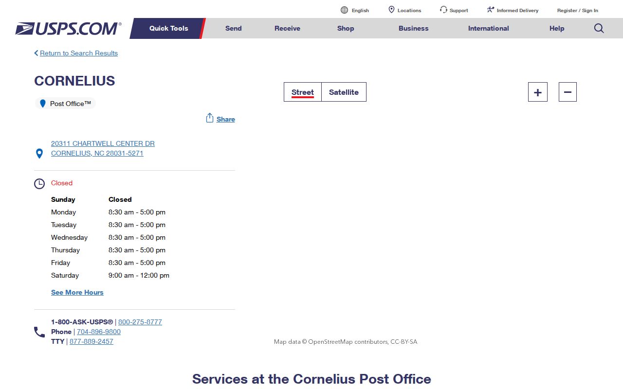
USPS is the best first check for a particular delivery address, ZIP+4, and post-office service. The official Cornelius Post Office listing identifies the facility at 20311 Chartwell Center Drive, Cornelius, NC 28031-5271, with its service information. That page establishes the facility's postal identification, not the outer edge of the town. Enter the complete address in USPS address lookup before searching county records. If the result shows a nearby postal city, keep it as the delivery label and separately check the parcel's town jurisdiction.
The property record adds the fields USPS does not: owner of record, situs, mailing address, legal description, parcel ID, and map context. A mailing address can be elsewhere, so it should not be substituted for the physical Cornelius location.
The USPS Cornelius facility page is the source for this postal reference.
Checking the full address before opening a parcel record reduces confusion between ZIP+4 delivery information and county property geography.
Search Cornelius ZIP Code Geography
No inspected Mecklenburg public portal offered a ZIP-only household or resident search. POLARIS does not expose a ZIP field in its static public interface, GeoPortal starts from an address or place, Tax Administration searches owner, parcel, street, business, or bill, and the statewide voter lookup is name-based. That limitation matters. The practical ZIP code directory workflow is address-first: confirm the ZIP, map the address, and then use the parcel or official request path appropriate to the question.
- Verify the complete delivery address and ZIP+4 through USPS. Record the returned postal city without assuming it matches the town boundary.
- Enter the address in POLARIS or the Mecklenburg GeoPortal. Save the situs, parcel ID, legal description, and visible jurisdiction context.
- For ownership or tax context, use the parcel, owner, or street modes published by Mecklenburg Tax Administration. For a recorded transfer, move to the Register of Deeds using the owner and legal description.
- For an individual voter question, use the name-based state search with Mecklenburg County and status controls. A county voter-file request is a separate process, and protected information remains unavailable.
Once a verified address points to one road, the Cornelius street directory has the parcel-by-parcel method for that narrower search.
Use Cornelius ZIP Code Maps
The county map tools are most useful after a ZIP has been verified for one address. They expose different search inputs and different geographic outputs. GeoPortal requires at least four characters for an address or place search. POLARIS offers address, parcel, owner, or landmark input and includes a Situs Address Search mode. The county's Address Management data includes ZIP, postal city, jurisdiction, fire district, ETJ, special tax district, and road centerlines. The map is a way to inspect those layers, not a public ZIP-wide individual search.
| Official tool | Available search input | ZIP-related use | Limit |
|---|---|---|---|
| POLARIS | Address, parcel number, owner, or landmark | Inspect an address and its property geography | No ZIP-only control was exposed in the inspected public view |
| GeoPortal | Address or place, at least four characters | Review property, district, community, and mapped context | Address-driven rather than ZIP-wide |
| Tax Administration | Owner, parcel, street, business, or bill | Link a verified address to tax context | No primary ZIP search was exposed |
| NC Voter Search | First name, last name, year of birth, county, and status | Check a named record after address research | Not a ZIP-wide public mode |
For a Cornelius address near a town line, open the parcel report before relying on the postal city. The report separates situs from mailing address and links the map parcel to a legal description. GeoPortal can add nearby public geographic context such as voting districts, schools, parks, libraries, stormwater, and environmental layers. Those results describe the location, not a household. Print or save the map date, selected layer, and parcel ID when the result will be compared with a deed or request.
Save the search date and the selected address. County GIS data can change, and the Register of Deeds remains the controlling source for recorded title and boundary facts.
Distinguish Cornelius ZIP Code Limits
Cornelius ZIP code labels and town limits can disagree because Cornelius, Davidson, Huntersville, ETJ areas, lake geography, and unincorporated land meet within one county. Confirm four fields when the location matters: the situs and town jurisdiction shown by GIS, the postal city and ZIP returned by USPS, the parcel ID and legal description in the deed or plat, and the owner's mailing address. Each field answers a different question. A postal city is useful for mail, while a legal description anchors the land record.
- ZIP Code
- A USPS delivery-route code, not a municipal boundary.
- ZIP+4
- An added delivery segment that helps USPS route mail more precisely than the five-digit ZIP.
- PO-box ZIP
- A ZIP used for post-office boxes rather than a general street-delivery boundary.
- Unique ZIP
- A ZIP associated with a single organization or institution, not a general neighborhood.
- Carrier route
- A postal delivery grouping that does not decide municipal jurisdiction or property ownership.
Note: A parcel near a town line can have valid county, postal, and municipal labels that are all different but not contradictory.
Request Cornelius ZIP Code Records
A ZIP label can help describe a narrow records request, but it is rarely the only key a custodian needs. For GIS or property questions, supply the full address, parcel ID if known, record type, and date range. Mecklenburg's public-record request portal routes requests by category. North Carolina's public-records law permits inspection and copies, with actual reproduction costs and reasonable special-service charges for extensive work. Asking for a defined map layer, permit, or record set is more useful than requesting every person associated with a ZIP.
For voter material, the public search has first-name, last-name, county, year-of-birth, and status controls. Mecklenburg Data and Downloads provides a voter data file and a separate request route for records or formats not shown. Under G.S. 163-82.10, permitted voter lists and selective data are subject to field limits, cost rules, and confidentiality protections. Keep the purpose, output format, field list, and time span specific when asking the county about an available record.
Mecklenburg's voter data notice describes registered-voter history for the past twenty elections and warns that the file is large. A defined precinct, field set, and time period is easier for the county to evaluate than an undefined postal-area request. The statute permits a county board to charge actual preparation cost and, for magnetic media, up to a $25 service charge. Full and partial Social Security numbers, dates of birth, email addresses, driver-license information, and protected addresses are not available through this route.
Note: A postal ZIP can help describe a geography, but an address, parcel, or precinct is usually the more precise records-request key.
Measure Cornelius ZIP Code Context
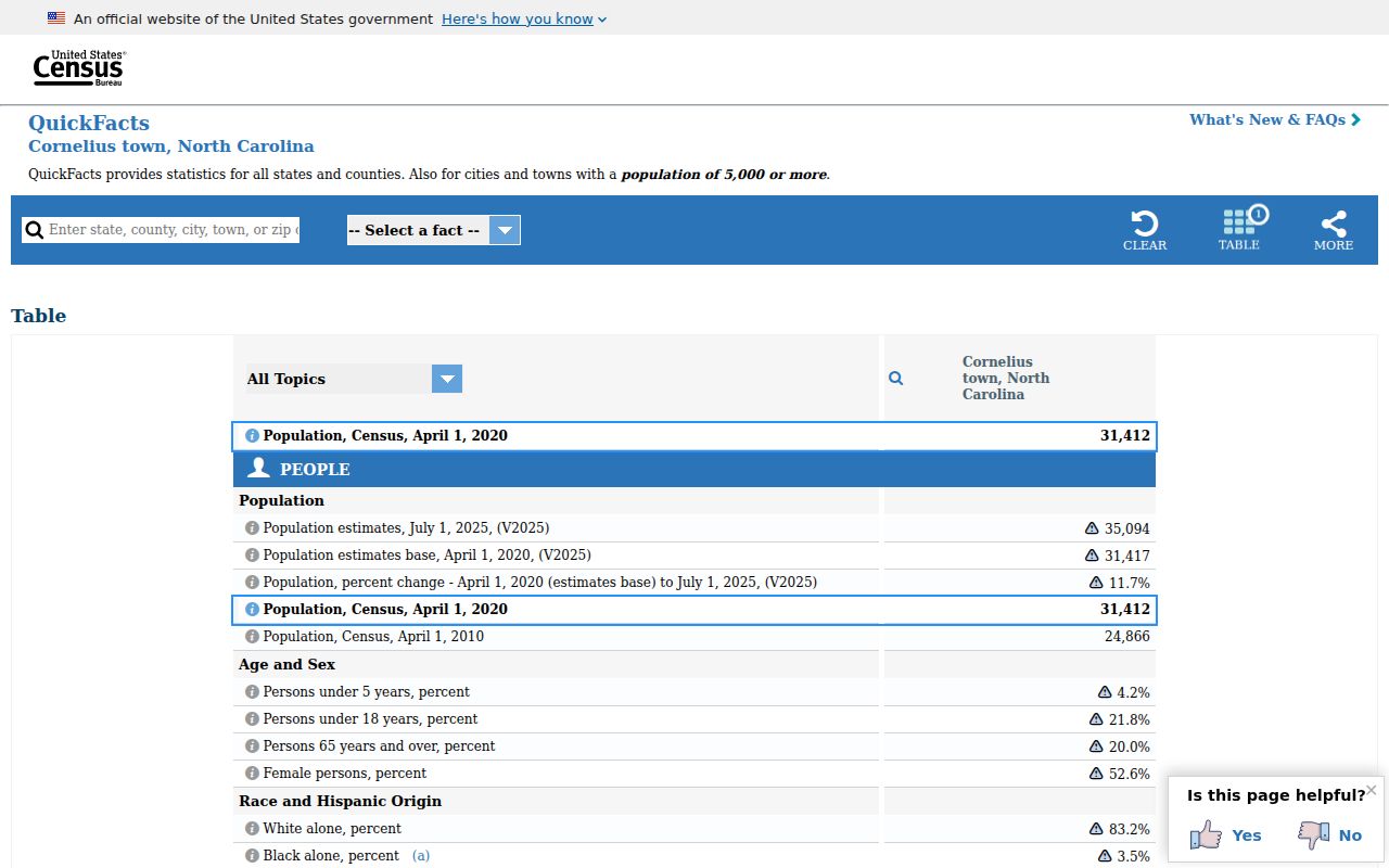
Postal geography is especially easy to overread in a compact and growing town. Census QuickFacts reports a 2020 Cornelius population of 31,412 and a 2025 estimate of 35,094. Those numbers give broad local context only. They do not identify a person, decide which ZIP applies to a property, or substitute for a county parcel record. The town's growth from historic mill and farm land through Lake Norman and modern subdivision development helps explain why a contemporary street may have newer address layers over a much older deed trail.
The Census QuickFacts page for Cornelius supplies these town-level figures.
Use population figures to understand the scale of Cornelius, then return to USPS and county GIS for an address-specific ZIP question.